

DomoDomo
All in One Agentic Tool Hub


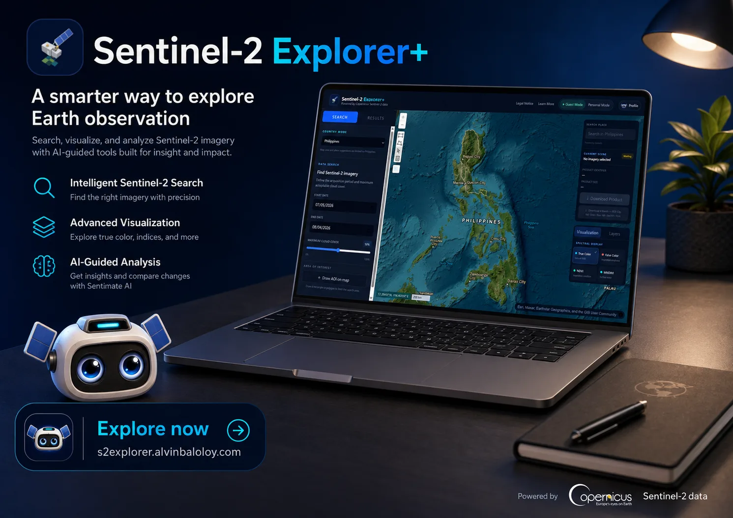
Explore, analyze, and download Sentinel-2 imagery right from your browser.
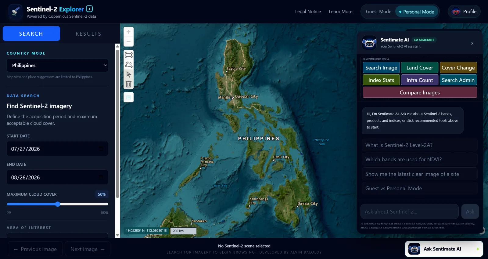
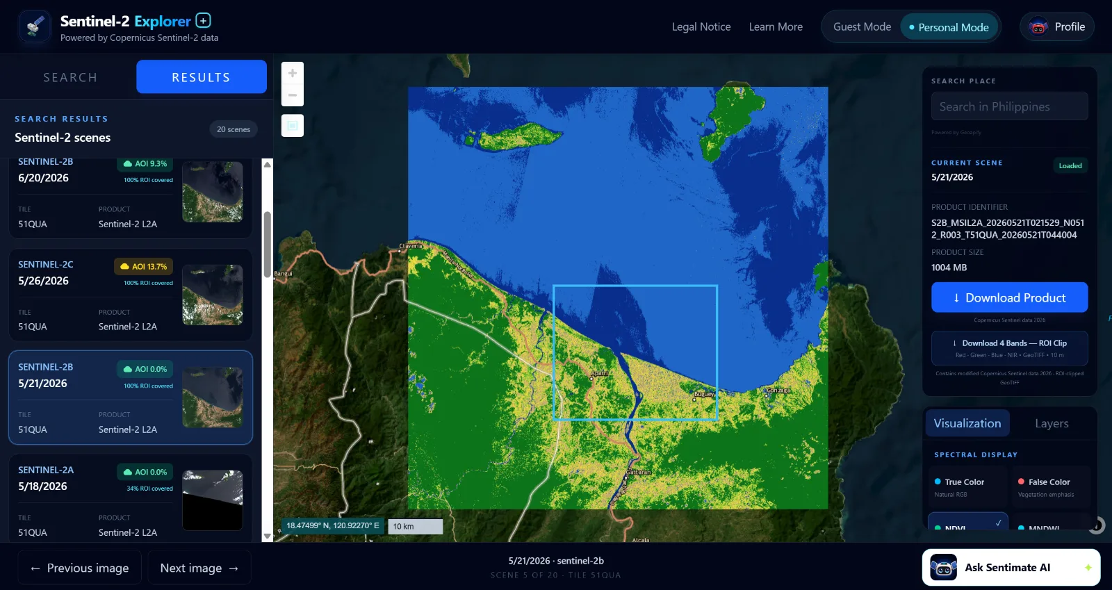
Users can explore imagery by location and date, filter scenes by cloud cover, switch between True Color, False Color, NDVI, and MNDWI visualizations, and define custom areas of interest directly on the map.
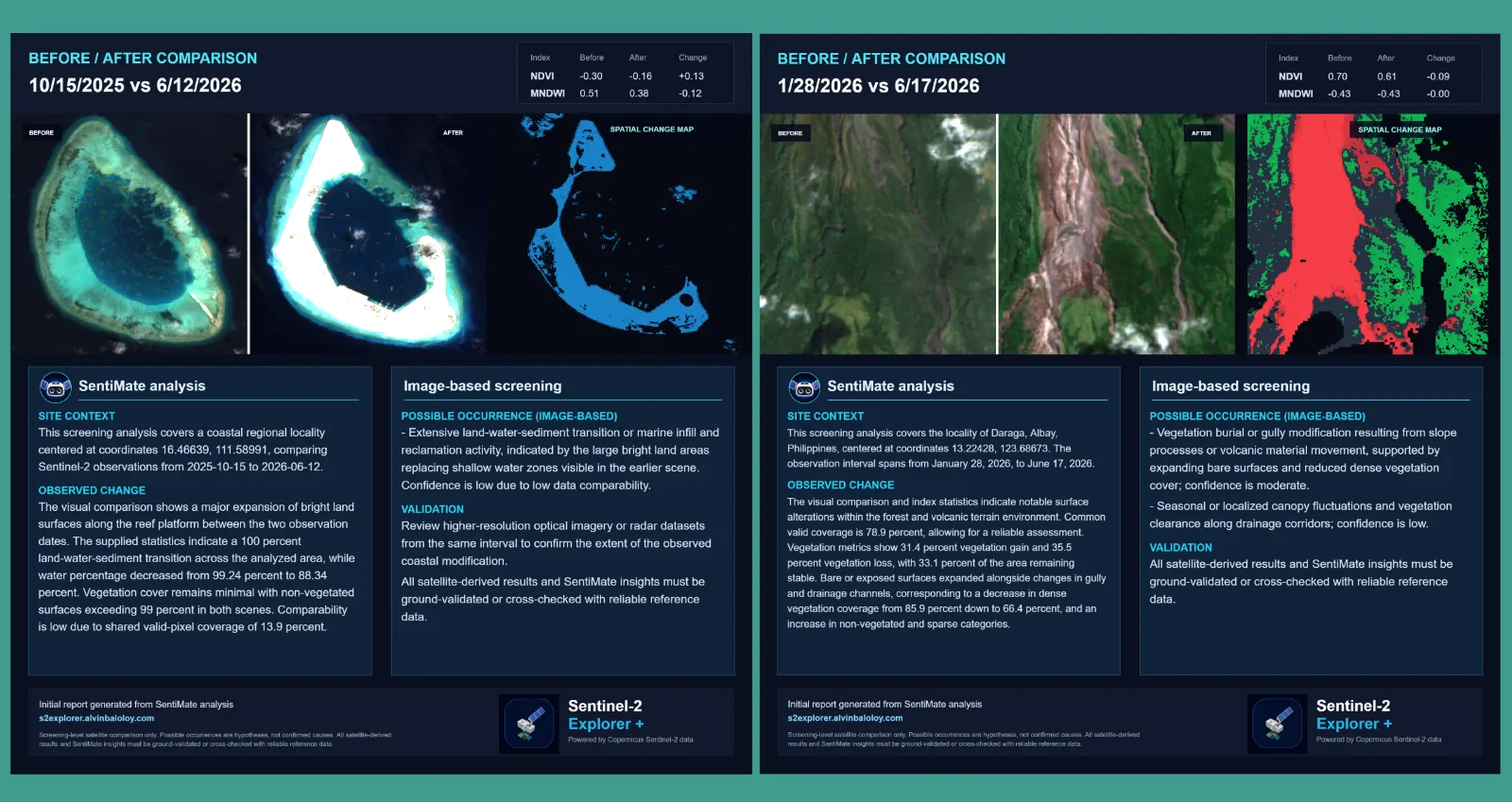
Beyond viewing imagery, the platform includes tools for vegetation and water analysis, land-cover summaries, infrastructure detection, image comparison, change analysis, GeoTIFF downloads, and automated reports. SentiMate AI also helps users interpret satellite imagery and turn observations into practical insights.
Sentinel-2 Explorer Plus is designed for students, researchers, GIS and remote sensing practitioners, planners, environmental professionals, and anyone who wants a simpler way to work with Copernicus Sentinel-2 data without setting up complex GIS workflows.
All in One Agentic Tool Hub
Create cute, interactable, and so pretty digital gifts and love letters
Create professional certificates in minutes—for free, with no sign-up required.
Sign in to join the discussion.
Sign in to commentBased on 0 reviews




Sharing my first contribution to AppBuildersPH! <3